

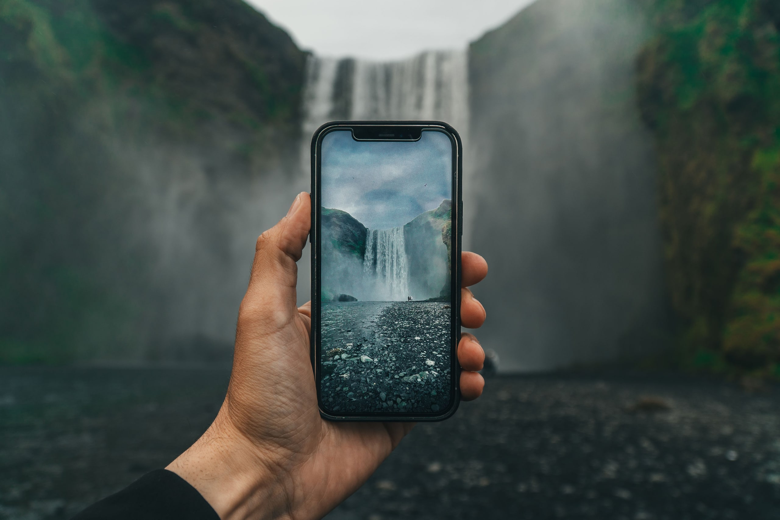
The short answer: if it's your first trip, see the Golden Circle, the south coast waterfalls and black beaches, and the glacier lagoon at Jökulsárlón. With more days, add Mývatn and the waterfalls of the north, the Snæfellsnes peninsula in the west and the quiet Eastfjords. Almost all of it sits on or near the Ring Road (Route 1), and most of it costs nothing but a parking fee.
We hand over campers at our desk in Keflavík every day, and "what should we see?" is the first question we get. This is the list we give our own guests: 30 places, sorted by region in the order you meet them on a road trip, with honest notes on time, roads and seasons. For planning the days themselves, our free trip planner builds a route around your dates.
Reykjavík and the Reykjanes peninsula
Reykjavík: Hallgrímskirkja, Harpa and the Sun Voyager
Iceland's capital is small enough to walk in an afternoon. Start at Hallgrímskirkja, the white concrete church you can see from almost anywhere in town; the lift to the tower has a small fee and the view over the coloured roofs is worth it. Walk down Skólavörðustígur to the harbour, past Harpa, the glass concert hall, and along the seafront to the Sun Voyager sculpture. Park a camper outside the centre and walk in: downtown spaces are tight and paid (our parking guide explains the zones).
The Blue Lagoon and the Reykjanes coast
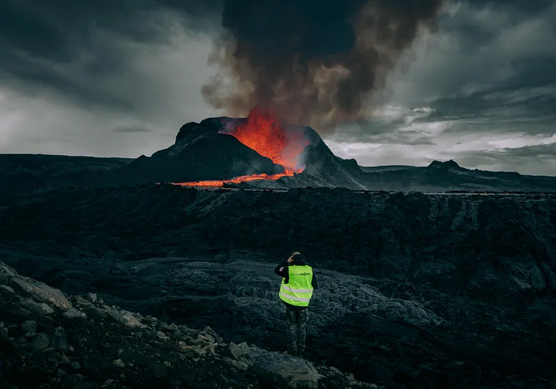
The Blue Lagoon sits on the lava field near Keflavík airport, so it fits neatly on your first or last day. Book ahead, especially for summer evenings. The rest of the Reykjanes peninsula is raw volcanic coast with steaming ground and black lava. It has been volcanically active in recent years, so check safetravel.is for closed areas before you drive around it, and never walk onto fresh lava.
The Golden Circle
The classic day loop east of Reykjavík: about 6 to 8 hours with short stops, 8 to 10 at a comfortable pace. Our Golden Circle guide has the route and driving times.
Þingvellir National Park
The rift valley where the North American and Eurasian plates pull apart, and where Iceland's parliament first met around the year 930. Walk the Almannagjá gorge between the rock walls, then down to the Öxarárfoss waterfall. There is a parking fee.
Geysir and Strokkur
The Great Geysir that gave every geyser its name rarely erupts these days, but its neighbour Strokkur shoots up every few minutes, so you never wait long. Stay behind the ropes: the water is boiling.
Gullfoss
A wide river drops in two steps into a narrow canyon, and on sunny days the spray throws rainbows. The lower path gets wet and slippery, so watch your footing.
Kerið
A red volcanic crater with a blue-green lake at the bottom, a short stop on the way back to Reykjavík or towards the south coast. It charges an entry fee.
The south coast
The stretch from Selfoss to Vík packs more famous stops into about 130 kilometres than anywhere else in Iceland. Our 7-day south coast route takes it slowly, and the waterfalls page maps every fall on the way.
Seljalandsfoss and Gljúfrabúi
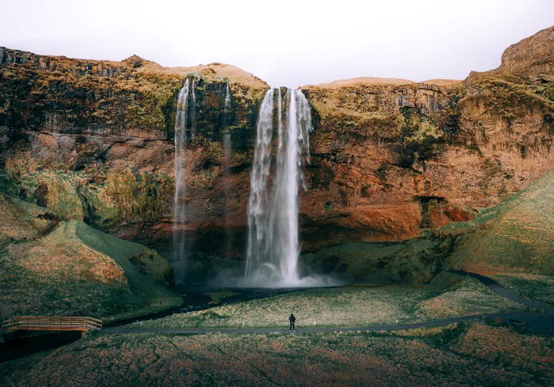
At Seljalandsfoss a path runs right behind the falling water; bring a rain jacket, and expect the path to close when it's icy. A few minutes' walk further, Gljúfrabúi hides inside a narrow gorge: step in along the stream and the waterfall appears in front of you.
Skógafoss
A wall of water 60 metres high that you can walk right up to. A long staircase climbs to a viewing platform at the top, and the river path beyond it leads past one waterfall after another. The Skógar campsite sits at the foot of the falls and is open all year.
Kvernufoss
Ten to fifteen minutes on foot from the Skógar museum, in a quiet green gorge, and you can walk behind this one too. Most people driving past have never heard of it.
The Sólheimasandur plane wreck
The shell of a US Navy plane that landed on the black sand in 1973. It's a long, flat walk of about an hour each way from the car park, so go when the wind is calm and bring water.
Dyrhólaey
A rock arch over the sea, a lighthouse and wide views along the coast to Reynisfjara. In summer it's one of the easiest places to see puffins; parts of the headland close for a while in early summer to protect nesting birds, so follow the signs. Our puffin guide has the season.
Reynisfjara
The black sand beach with basalt columns and the Reynisdrangar sea stacks just west of Vík. It is also one of the most dangerous beaches in Iceland: sneaker waves surge far up the sand without warning. Follow the warning lights at the entrance, keep well back from the water and never turn your back to the sea. Our Reynisfjara guide explains the light system.
Fjaðrárgljúfur
A mossy canyon near Kirkjubæjarklaustur with a path along the rim and viewpoints down into the twisting gorge. Stay on the marked path; the moss here takes decades to grow back.
Glacier country: Skaftafell to Höfn
Skaftafell is about 4 to 5 hours from Reykjavík without long stops. This is the part of Vatnajökull National Park you can see from the Ring Road; our Vatnajökull guide covers it in detail. Any walk on a glacier, and every ice cave (November to March), is only with a licensed glacier guide.
Skaftafell and Svartifoss
A green oasis under the glaciers, with marked trails from the visitor centre. The walk up to Svartifoss, the waterfall framed by black basalt columns, takes about an hour and a half return. The Skaftafell campsite is open all year.
Fjallsárlón
A smaller, quieter glacier lagoon where the ice tongue reaches right down to the water. Ten minutes before Jökulsárlón on the Ring Road, and often calmer.
Jökulsárlón
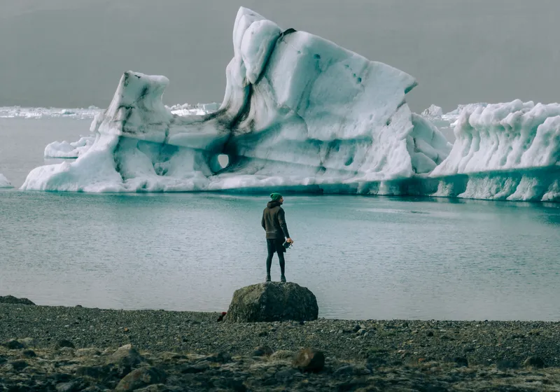
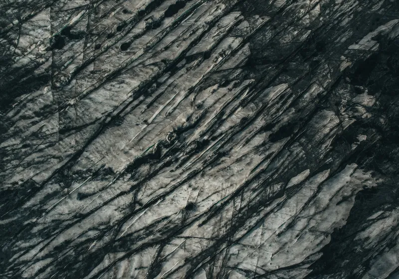
Icebergs calve off Breiðamerkurjökull and drift through the lagoon towards the sea, right beside the Ring Road. Seals often swim between the ice. Give it more time than you think: the light changes the colours of the ice by the hour.
Diamond Beach
Across the road from Jökulsárlón, chunks of ice wash up on the black sand and glitter in the sun. Watch the waves here too.
Vestrahorn and Stokksnes
The jagged Vestrahorn mountain rising over black dunes on the Stokksnes peninsula, near Höfn. The land is private: you pay a small fee at the gate.
The East
Fewer people, more fjords. Fuel stations are further apart here, so fill up when you can; our gas stations guide has a map.
The Eastfjords road
Route 1 winds in and out of the fjords between Höfn and Egilsstaðir, past small fishing villages and steep mountains dropping into the sea. Take your time: this is where wild reindeer sometimes cross the road, especially in winter and spring (more in our reindeer guide).
Seyðisfjörður
A colourful village at the end of a deep fjord, reached over a mountain pass from Egilsstaðir. Walk the rainbow-painted street to the little blue church. In winter, check that the pass is open before you set off.
Stuðlagil
A canyon lined with rows of hexagonal basalt columns and a glacial river running through it. There are two ways to see it: a viewing platform with steps on the west side, or a longer walk on the east side that takes you down towards the water.
The North
The north has whales, the most powerful waterfalls in the country and a lake full of volcanic oddities. Our North Iceland guide has the towns, campsites and driving times.
Dettifoss
One of the most powerful waterfalls in Europe, a roaring grey curtain in the Jökulsárgljúfur canyon. The west side is on paved Route 862; the east side is reached on Route 864, which is gravel.
Ásbyrgi
A horseshoe-shaped canyon with sheer cliffs and birch woods inside, part of Vatnajökull National Park. Easy paths lead to a small pond at the far end.
Húsavík
A harbour town known for whale watching in summer, with a whale museum by the water. Boats leave from the harbour several times a day in season.
Mývatn
A lake surrounded by volcanic sights: the lava towers of Dimmuborgir, the boiling mud and steam vents at Hverir, and the pseudocraters at Skútustaðir. End the day at the Mývatn Nature Baths; book ahead on summer evenings.
Goðafoss
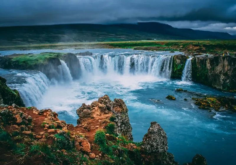
The "waterfall of the gods", a wide horseshoe right by the Ring Road between Akureyri and Mývatn. Paths on both banks give you two very different views.
Akureyri
The north's main town, with a good pool, a botanical garden and shops to stock up in. The Hamrar campsite at the edge of town is open all year.
The West
Kirkjufell
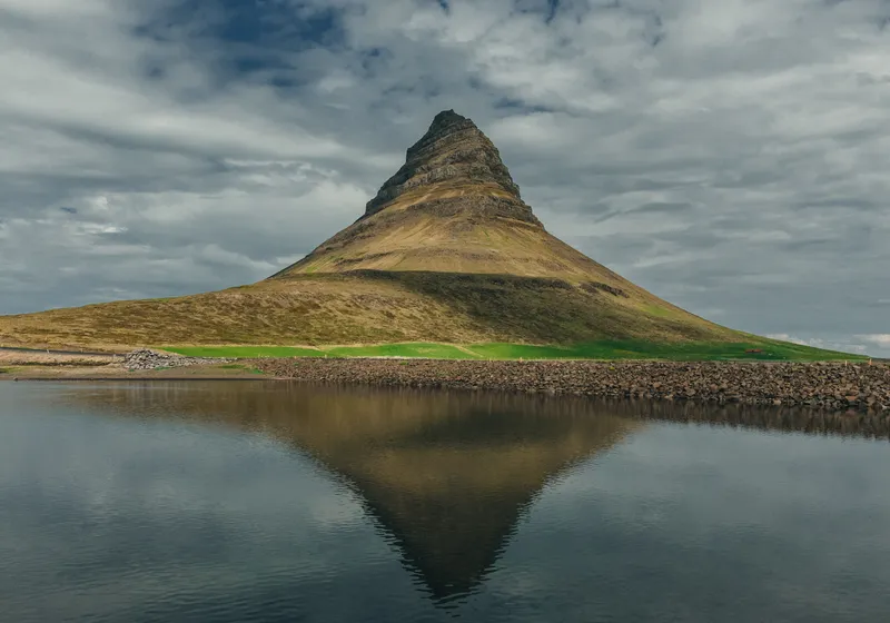
The cone-shaped mountain on the Snæfellsnes peninsula with a little waterfall in front of it, probably the most photographed view in Iceland. Fans of Game of Thrones know it as Arrowhead Mountain. There is a parking fee.
The Snæfellsnes coast: Arnarstapi, Hellnar and Djúpalónssandur
A coastal path links the fishing hamlets of Arnarstapi and Hellnar along cliffs and rock arches. Further west, Djúpalónssandur is a black pebble beach under the Snæfellsjökull glacier. Our Snæfellsnes route does the peninsula in a day from the Golden Circle side.
Dynjandi
The finest waterfall in the Westfjords, fanning out down the mountainside in layers, with smaller falls along the path up. Plan 1.5 to 2 hours there. The Westfjords need at least five days to do well; July and August are the most reliable months (see our Westfjords guide).
If you have more time
The Highlands (summer only): Landmannalaugar's coloured rhyolite mountains and the geothermal valleys of Kerlingarfjöll are among the most striking places in Iceland. They are reached on F-roads, usually from late June to September, and only in our 4x4 campers, when the road is officially open. Any river crossing needs our authorisation first, and the highland bus is the easy option where rivers are serious. Route 35 (Kjölur) is a rough gravel road: we don't recommend it for 2WD campers, and underbody damage is not covered. Our highland hikes guide and 4x4 guide explain the rules.
Arctic Henge: a modern stone circle on the far north-east coast at Raufarhöfn, built around the midnight sun (Arctic Henge guide).
Hot springs: from lagoons to free natural pools, our hot springs guide maps them all, and free things to do in Iceland lists the quiet ones.
When to see what
- Northern lights: late August to mid-April, on dark, clear nights. They're not visible in the bright months. See our northern lights guide.
- Puffins: they arrive in late April and leave by early September; the best time is mid-May to mid-August.
- Midnight sun: around midsummer it never gets properly dark, so you can visit popular stops late in the evening when they're quiet.
- Winter: the Golden Circle, the south coast and Jökulsárlón are all possible in winter with short driving days. Days are short and roads can close in storms, so check umferdin.is and vedur.is every morning. Our winter guide has the details.
Best time to visit Iceland compares the months side by side.
Are Iceland's sights free?
Almost all the nature is free to visit. The popular car parks charge a parking fee, usually paid in the Parka app or at a machine, among them Þingvellir, Seljalandsfoss, Skógafoss, Reynisfjara, Skaftafell, Jökulsárlón and Kirkjufell. A few places charge entry: Kerið, Vestrahorn, the lagoons and some hot pools on private land. Our parking guide explains how to pay so you don't get a fine later.
How many days do you need?
- 3 to 4 days: Golden Circle and the south coast to Vík
- 5 to 7 days: Golden Circle, the south coast and Jökulsárlón, then back
- 7 to 10 days: The full Ring Road at a brisk pace
- 10 to 14 days: The Ring Road with Snæfellsnes and slower days
The Ring Road is about 1,330 km; with detours a full loop is usually 1,500 to 2,000 km. Our Iceland campervan itinerary has day-by-day versions.
Seeing it all by campervan
A camper lets you reach the busy stops early in the morning or late in the evening, when the coaches have gone. Every place on this list is reachable on paved or ordinary gravel roads in a 2WD camper, except the Highlands. Sleep at campsites: overnight stays in car parks, lay-bys or at sights are not allowed (our campsites guide has a map of all of them). In winter, choose a heated camper, the Premium or the Scudo; all our campers have studded tyres in winter, and our 4x4 roof-tent campers are for summer only.
See our campers and live prices on the campervan rental page.